Author Archives: Ryan Keller

Risk for tomorrow

Keeping an eye on tomorrow, where we see a risk for severe weather over a good portion of central Alberta. A shortwave will begin to move in from the west triggering storms off the foothills. Large hail and strong winds will be the main threats.

Depending on how things shape up, parts of the risk area could be upgraded to an ELEVATED risk, should the dynamics hold.

image

Major snowfall expected for central and northern Alberta

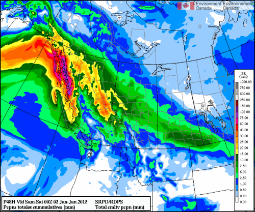
Happy new year everyone! The next wave of snow appears to be targeting the capital region and northern Alberta with 11-15cm At this time the system is hitting with quite a force in BC, as a result most of Northern BC is under winter storm and heavy snowfall warnings. Thankfully our ever present buffer the mountains should remove some of this Pacific moisture and turn it into a more moderate snowfall according to GEM. This is all expected to take place mostly on Thursday and Friday morning. Of course this is Alberta, the system could always intensify.  Never say never when it comes to Alberta weather. 😉

image

The end is in sight!

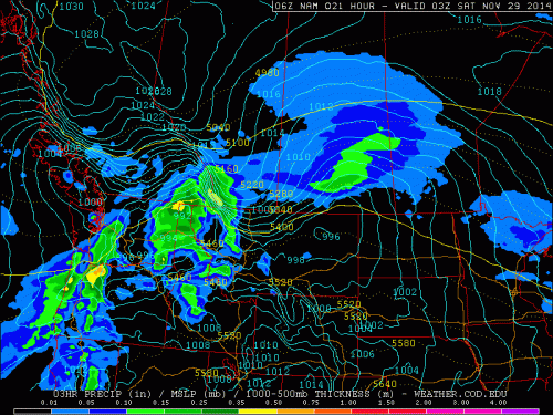
The storm appears to be mostly done with central Alberta, however Saskatchewan is now under the gun as models predict the Regina region to get a direct hit.

image

image