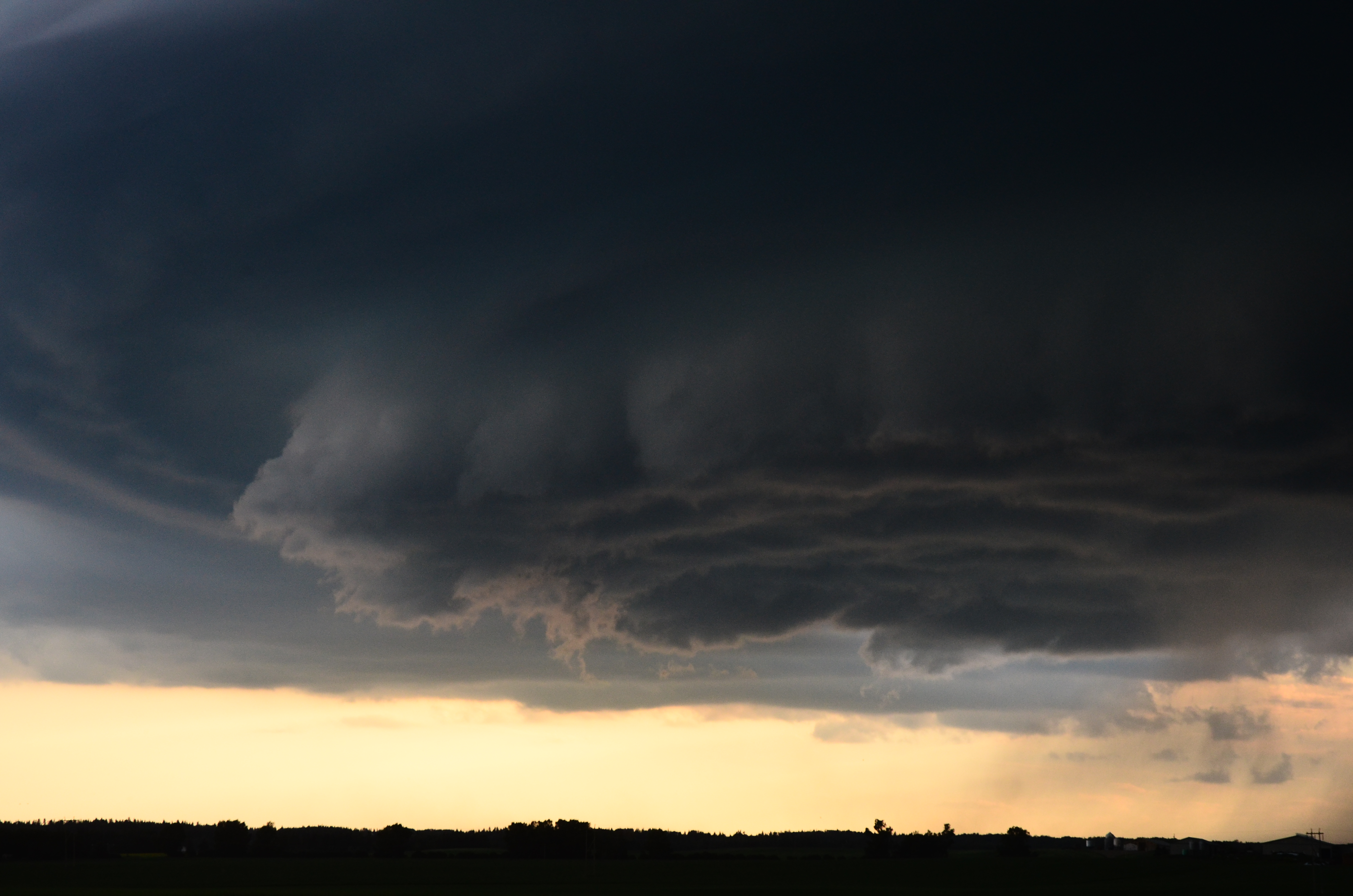
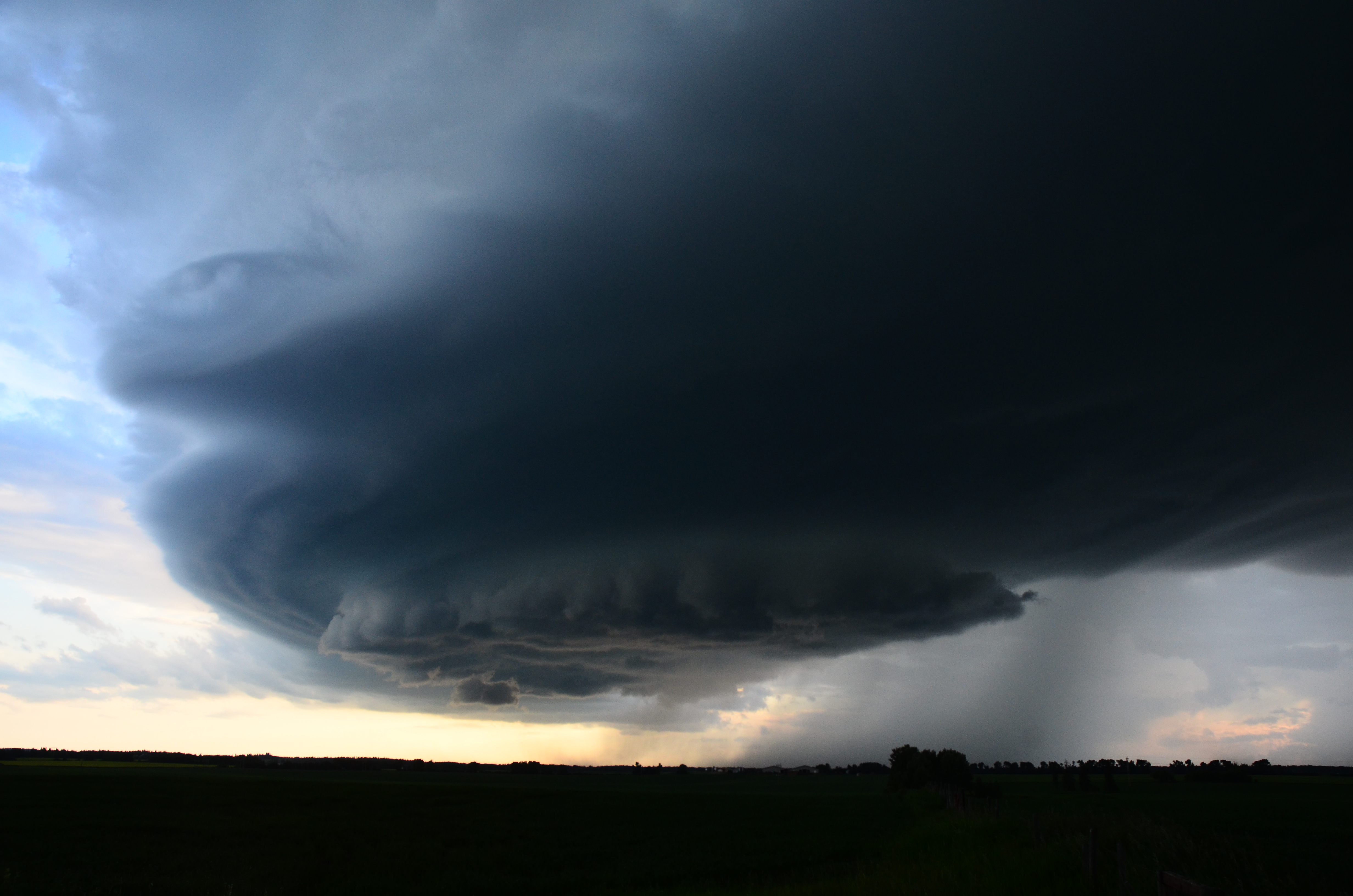
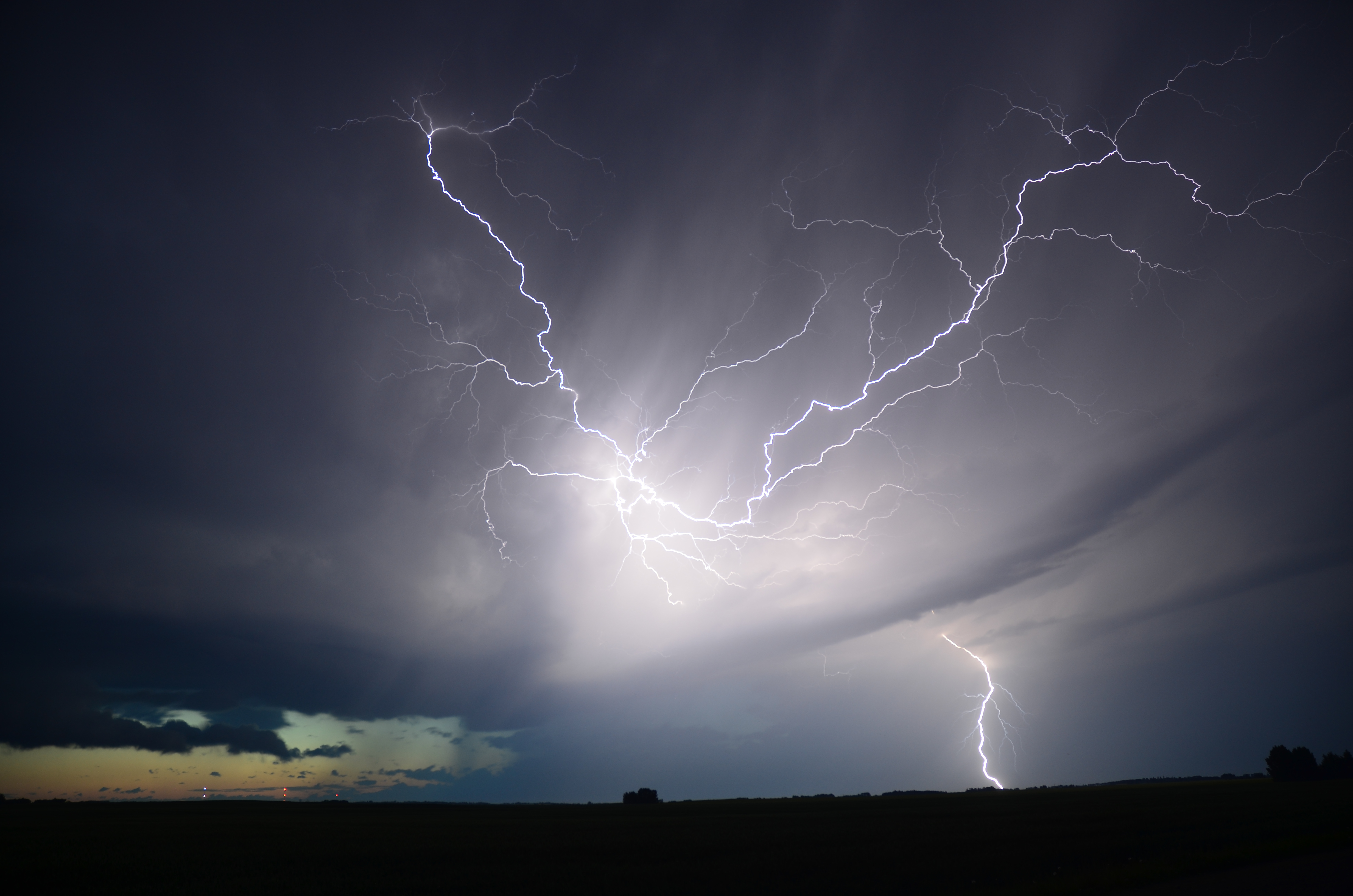
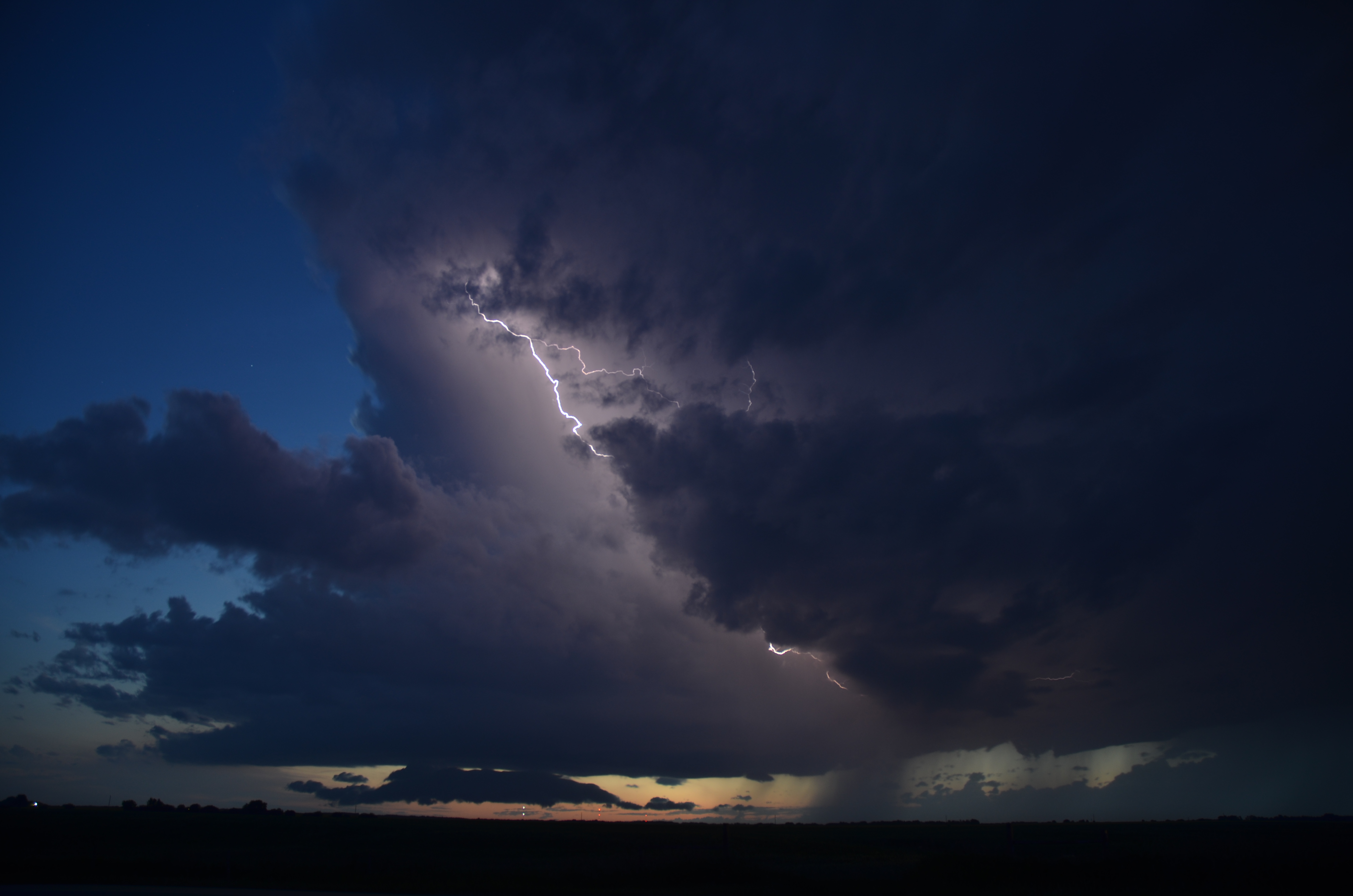
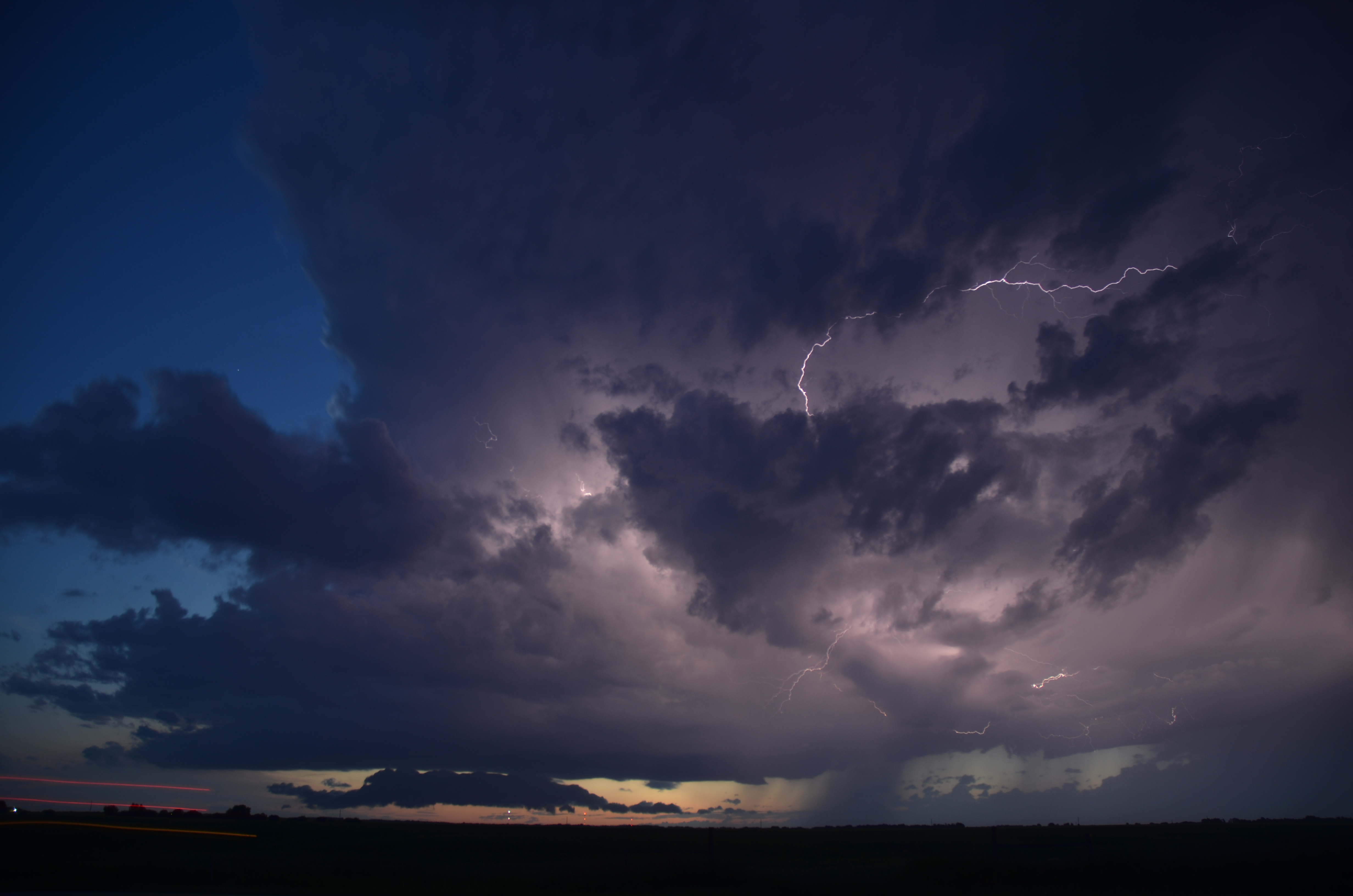
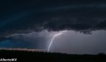
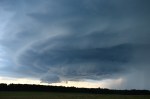
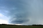
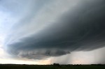
According to GFS and NAM we are looking at a potentially dangerous setup in central Alberta. NAM is showing MLCAPE values of 5000 in places. There is going to be high level shear present. There will be enough shear to create the potential for large hail and tornadic activity. Lack mid level shear however keeps the chance of a tornado low to moderate.
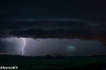
Models are showing a convergence line along the Yellowhead east of Edmonton also high CAPE values between Drayton Valley to Pigeon lake are showing potential for development in this area. Later in the afternoon the Yellowhead East of Edmonton should see evening storms possibly in the Mundere area. That being said the more favorable shear appears to be east of Edmonton. A CAPE line extending from the foothills might also cause some cells to pop up on the west side of the QE2. It should be a very active day for Alberta.

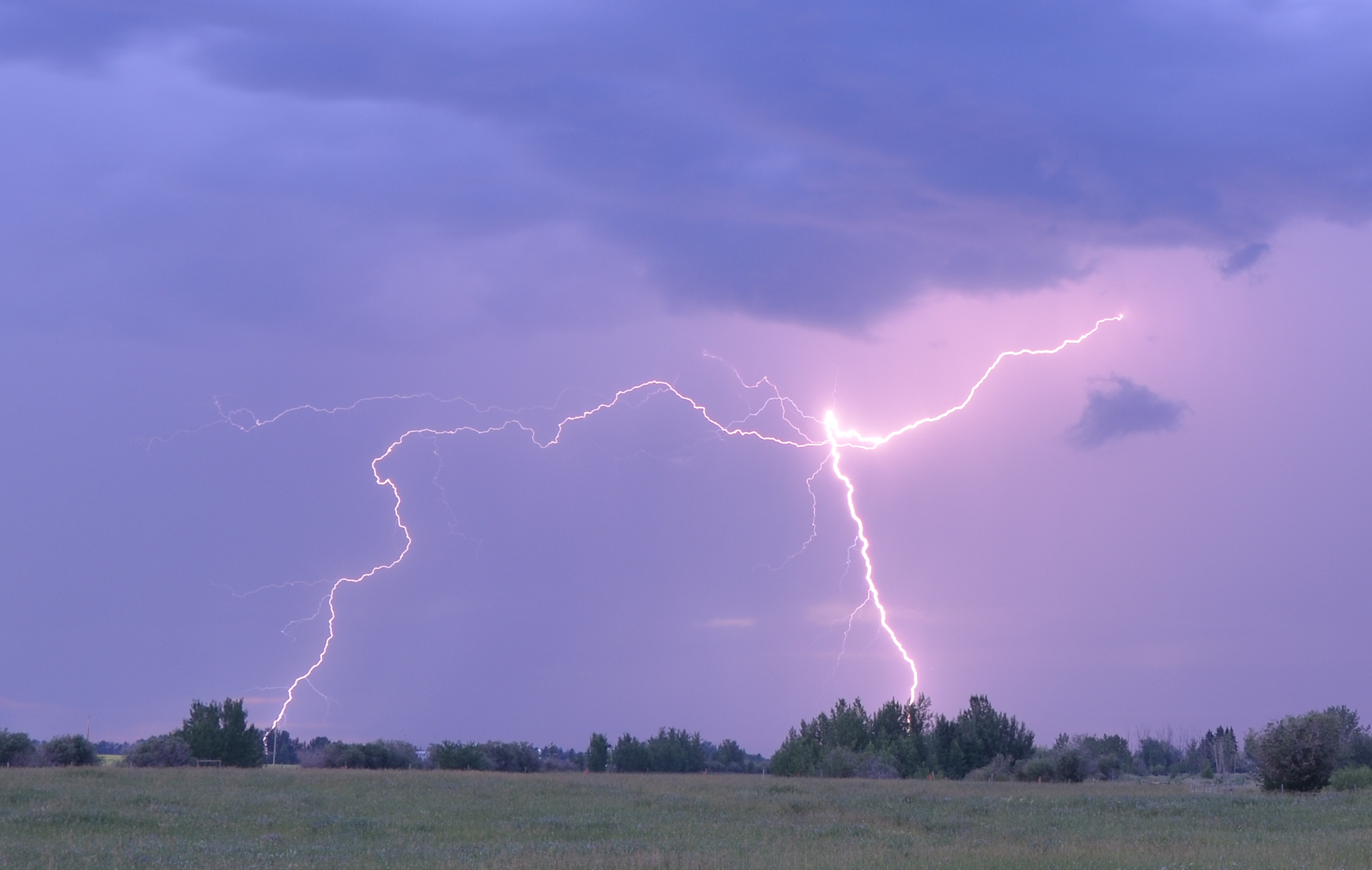
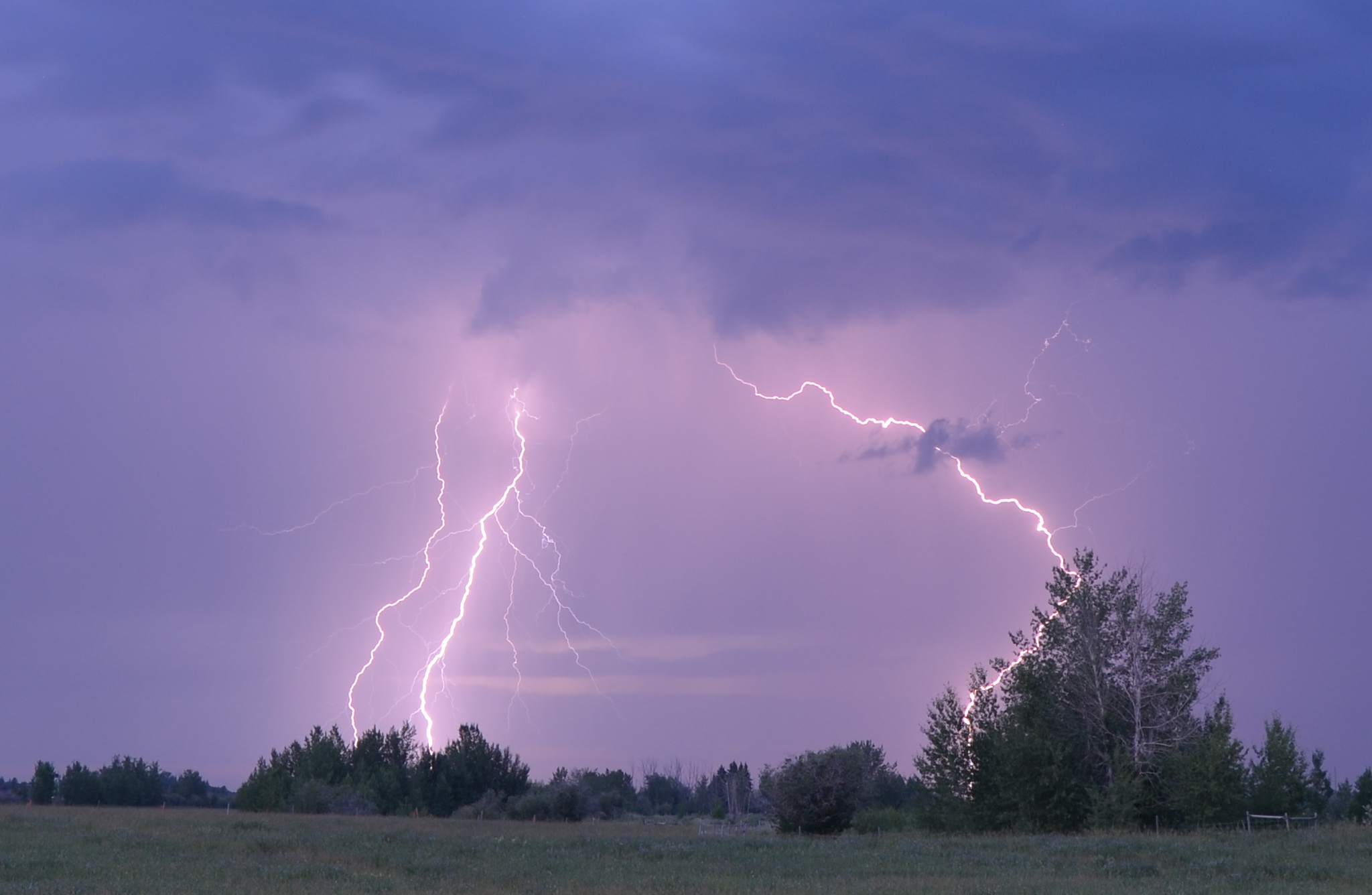
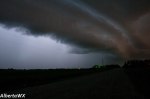
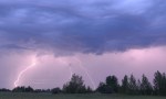
Environment Canada is taking no chances with this setup and issuing special weather statements for most of central and northern Alberta regarding this storm setup.
Click here for the warnings page.