Category Archives: Uncategorized

Fall 2016 Forecast: A bit of everything.

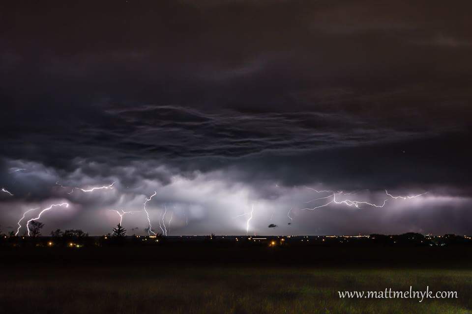
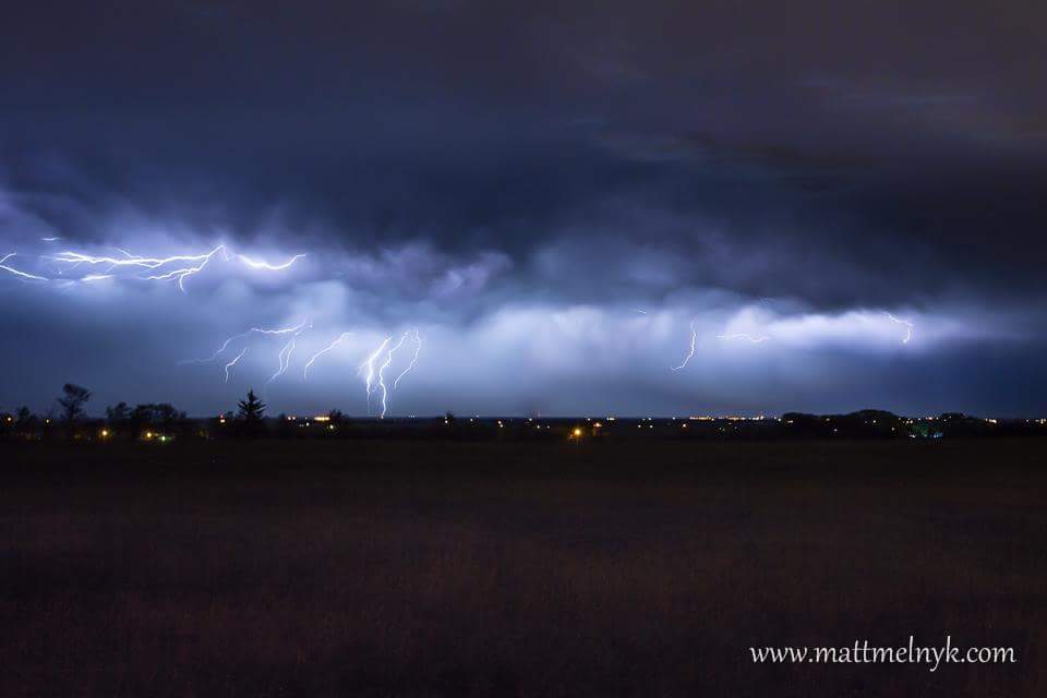
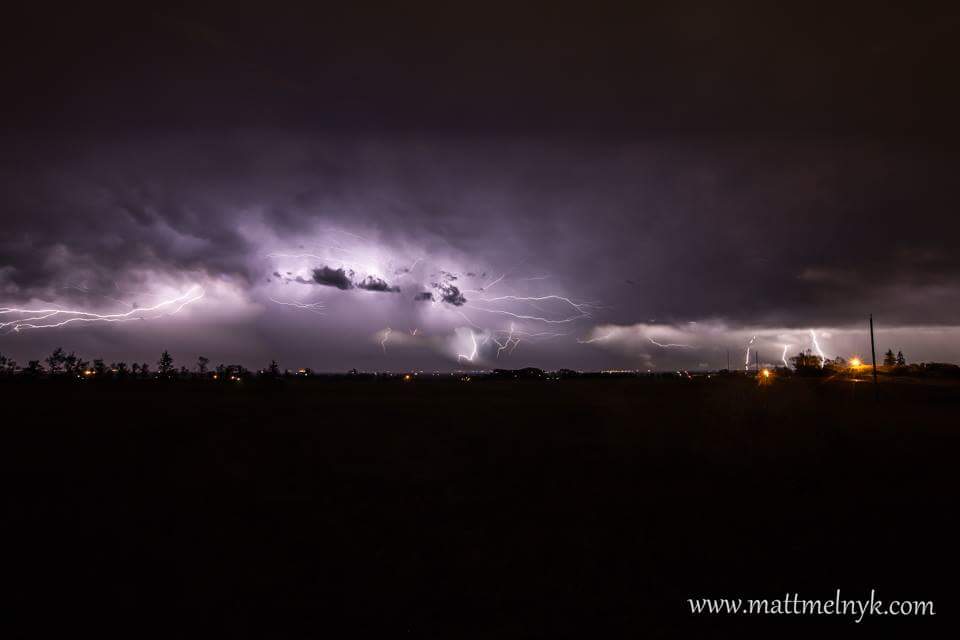
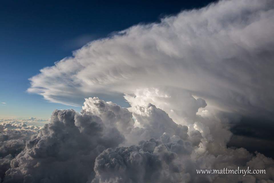
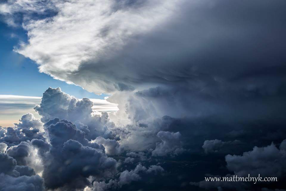
After a summer better called the “monsoon season” the transition into Autumn seems to have the same rain, and more rain we have seen since mid May. 2016 was the 2nd most active since 2005 with 59 thunderstorms as of Sept 8, so a few more are likely before the end of the year so I could see a tie for the most active. 2016 also made news with it’s severity being the first in a decade to see 10 or more tornadoes and was closer to pre-2002 activity, also a populated area was impacted(Ponoka) by one of these tornadoes(EF-1). I recorded a total of 16 severe thunderstorms in my single local area which is the highest number I’ve logged since i started keeping track in 2005. We are currently entering the autumn with moisture levels not seen in years so we may see thunderstorm outbreaks and heavy rainfall events into October. Unless the fall is much cooler than average 2016 will run in the top 3 warmest years on record. Much of this headroom was made during the winter which was incredibly warm.

Overall The Autumn should be near normal for temperatures and precipitation. Cooler and very wet weather in September is likely to change to a warmer and slightly drier pattern as early as Late September. With possible warm and dry periods before that. The fall could be a little of the cool and wet side for southwestern Alberta while the northwest warms up and dries out into October.

September:Slightly cooler than normal and very wet in the western part of the province, near normal temperatures and near normal- wet over the remainder of the province.

Sept 1-15: Mild and very humid for the time of year. Very wet. Some days might be reach 25C. High thunderstorm activity

Sept 15-30: Becoming drier and warmer overall. Severe thunderstorm still a likelihood.

Oct: Warmer than normal with slightly below normal rainfall/snowfall. Severe thunderstorms possible as late as thanksgiving. Unusual warmth around Halloween.

November: Closer to normal overall, drier. Very warm and drier to start the month, At some point Mid to late month strong cold and snow should move in, the onset could be very rapid.


Matt Melnyk makes CBC and CTV

       Congratulations goes to our fellow chaser Matt Melnyk for his recent exposure and his ongoing contributions that bring awareness about severe thunderstorms to the general public. 

         Matt was recently featured on CBC for aerial photos he took while flying past a severe thunderstorm near Yorkton Saskatchewan that produced a tornado on July 31st 2016. 

         Recently busy with his career Matt has returned with a vengeance. He has brought with him his legendary lightning photography and the unique perspectives he can get.

http://www.cbc.ca/beta/news/canada/saskatchewan/pilot-takes-photos-of-sask-sunday-storm-1.3705395

August 2016 Forecast: Quite wet indeed!

July was near average and wet over much of central and southern Alberta. The northern Part of the province was warmer than average with and drier than normal with the exception of parts of northeastern Alberta. The wettest part compared to average was a wide band down the trans Canada highway in southern Alberta where accumulations surpassed records. This was due to day after day of never ending severe thunderstorms. The month of July was one of “stuck” weather patterns, this were pretty much the same in a given area form the majority of July.

As for August long range models(albeit somewhat in agreement) show a northward shift in the zonal jet which should shift the extreme rainfall events north as well. This pushes any warm anomaly even more north. Only the very extreme north will see above normal temperatures. Parts of the foothills may see well below normal temperatures and a high risk of early snowfall down into the valleys by the end of the month or early Sept(Deja vu 2014?) perhaps down to the major centres such as Calgary(yes I’m hinting at August snow Calgary!).

Details.

Aug 1-10: Very wet and humid in Central and Southern Alberta. Warm and dry extreme north.

Aug 10-20: Heavy rainfall over much of the province, frequent thunderstorms widespread. Warmer and drier as you go north

Aug 20-30: Very cold by August standards , snow comes early to the Rockies and foothills. There is a risk of unusually early killing frost in eastern Alberta. There is a chance of a quick shot of heat but overall cold and wet.

A quick note. A major change(possibly due to the natural Autumn variability) looks to take place sometime from mid Sept to Mid Oct and is pointing toward a very warm fall 2016. Many locations may see their highest temperatures of the year in September or October(particularly in places such as Red Deer and Rocky mountain house).