
Severe thunderstorms, some super cells broke out on Sunday after a night of energetic nocturnal MSC and squall lines.
The overnight storms followed the Yellow head into the Edmonton area with frequent lightning, hail, and heavy rain. It’s the best light show I’ve seen in May since 2006. The storms continued into the morning and next day.

Daytime heating later in the day fuelled another round of storms in the form of discrete supercells. Weak to moderate shear, some CAPE and weak to moderate cap sparked several discrete severe warned thunderstorms.
The first one formed north of Rocky and moved east toward Rimbey, Ponoka and Stettler.
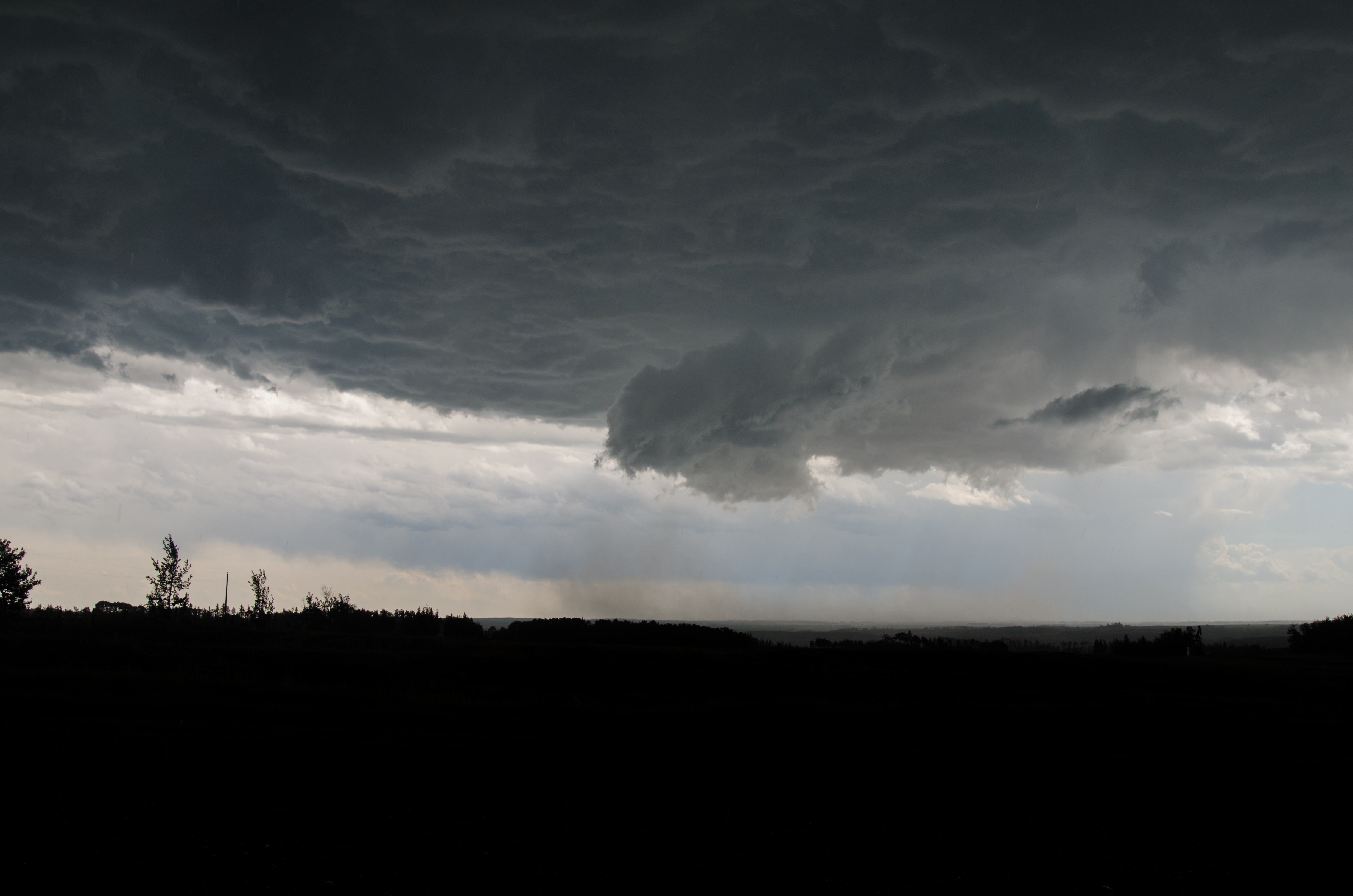
The 2nd(and most intense) formed near Edson and tracked into Saskatchewan through Calmar, Leduc, Wetaskiwin, and Camrsoe. By the time it reached Loydminister it had one of the best shelf clouds so far this year.
Additional storms including an LP supercell that made a brief appearance from Winfeild through Maskwacis before petering out.

First severe warned cell from Ponoka
Dust kicked up by outflow near Tees

Dust being kicked up under large hail producing storm. South of Leduc

Rfd gust up to 100km/h on the south end of the Leduc storm
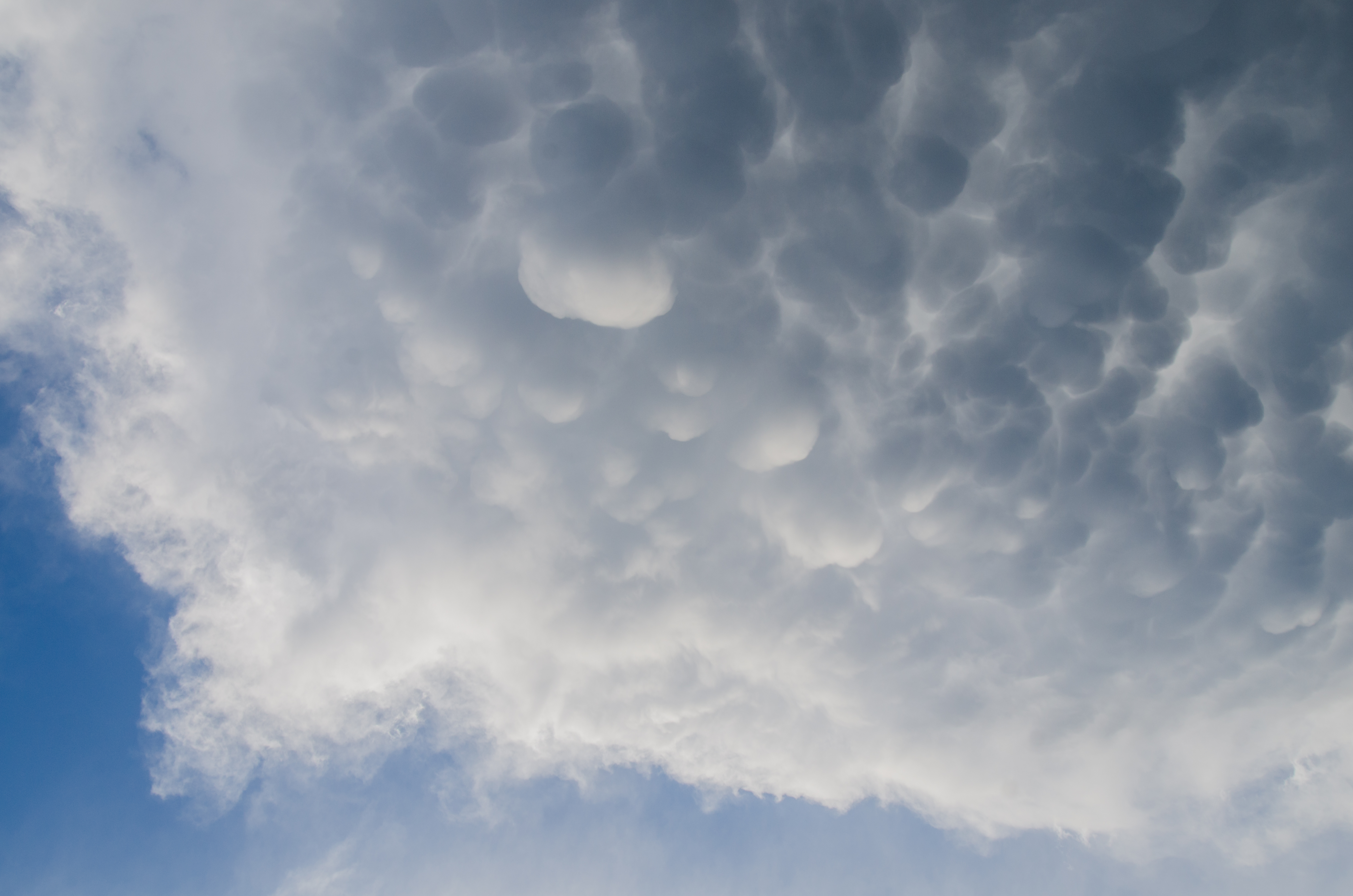
Mammatus clouds on the back end of the 2nd storm as seen from the Millet area

small LP barber pole type supercell Near Wetaskiwin
